Seismic scars reveal a previously unknown and dangerous fault line
Scientists have linked a sharp rise in the ground in southern Poland to a buried crack in the Earth that once tore open.
That finding shows powerful earthquakes hit the area thousands of years ago, even though recent records make it seem calm and low risk.
Near Brzegi in southern Poland, a 13-foot scarp runs about 2 miles across pastures, leaving a sharp edge in soil.
By mapping that line, Dr. Piotr Kłapyta, a geomorphologist, at Jagiellonian University in Krakow linked it to a previously unknown fault. Kłapyta and colleagues checked whether water or landslides could explain the edge, then kept seeing signs of deeper breakage.
Finding a new fault line in this basin pushes scientists to extend the region’s earthquake history beyond recent records.
Testing the straight edge
Airborne laser maps let the team follow the edge across hills and stream cuts without relying on patchy ground views.
Even where slopes changed, the line stayed straight and continuous, a pattern that ordinary erosion rarely leaves behind.
Below the surface, geophysical surveys, tools that scan shallow layers, found a sharp discontinuity directly under the visible edge.
Those underground breaks made a tectonic explanation the best fit, and they set up the decision to dig.
Digging into layers
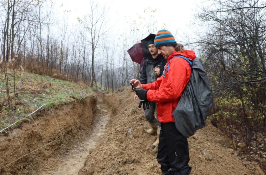
Excavators cut a paleoseismic trench, a narrow pit that exposes buried layers, across the step near Brzegi.
Inside that cut, sediment layers ended abruptly and then resumed at a different level, matching a fault zone beneath.
Sharp breaks and smeared bands in the exposed walls pointed to shearing, not slow slumping of soil downhill.
A trench cannot reveal every past quake, but it can confirm that sudden motion once tore through young sediments.
Estimating the timing
No organic material in the trench gave a direct date, so the team turned to the landscape itself. Instead, they used diffusion modeling, math that estimates how fast a sharp edge softens, to bracket its age.
Their calculations placed the rupture sometime between about 10,000 and 50,000 years ago, during the last ice age.
Because the method assumes a simple story for how the edge formed, the timing stays uncertain by design.
Why calm can mislead
Modern maps label Podhale, a basin in southern Poland near Slovakia, as quiet because few recent quakes appear there.
Seismometers have tracked this corner of Europe for only a short slice of time, so long gaps stay invisible.
Written accounts extend the record, yet they miss the shaking that struck before towns grew and people kept notes.
Rare large earthquakes can still happen on a slow fault, leaving only scars for scientists to find later.
What catalogs leave out
An earthquake catalog, a running list built from instruments, can stay short when damaging events come centuries apart.
By digging trenches across active faults, scientists read older quakes that never reached modern catalogs.
In paleoseismology, the study of earthquakes through geologic traces, layers of sediment can mark when a fault broke.
“According to the authors, paleoseismic studies allow for a much better assessment of geological hazards than relying solely on contemporary earthquake catalogues,” said Kłapyta.
When scars break rules
Oddly, the Brzegi scar does not match the usual pattern linking fault length and surface break size.
Usually, longer faults make larger surface breaks, because stress spreads and releases along more ground during a big quake.
Slow creep in weathered clay can also steepen a scarp over time, so the visible step may overstate motion.
Still, a short fault that reaches the surface signals energy that modern monitoring may never catch in a lifetime.
Forces behind the fault
Pressure from the collision of the Alps and the Carpathians in Central Europe keeps squeezing the region, and faults can react far away.
Field mapping suggested the Brzegi fault moved sideways and downward, a combination that can shape drainage and slopes.
Across the basin north of the Tatra Mountains on the Poland-Slovakia border, a northeast squeeze lined that motion up with nearby structures.
Linking a local rupture to regional forces helps scientists test which other hidden faults may share the same stress.
Lessons from the Brzegi fault line
For risk planners, the Brzegi scar matters because it proves the ground can store evidence after shaking ends.
New high-resolution maps let teams scan other valleys for straight edges, then confirm them with targeted trenches.
Better dating will matter next, since a fault’s danger depends on how often it breaks, not just size.
Each ancient rupture added to the record can change how Poland weighs rare but high-damage earthquakes in future planning.
The Brzegi finding turns a quiet patch of southern Poland into a longer story written in broken and healed layers.
More trenches and firmer dates should show whether the fault broke once or repeatedly, and how catalogs should respond.
The study is published in Geomorphology.
—–
Like what you read? Subscribe to our newsletter for engaging articles, exclusive content, and the latest updates.
Check us out on EarthSnap, a free app brought to you by Eric Ralls and Earth.com.
—–
First Appeared on
Source link

