They wanted to see Earth, but they captured Starlink instead, here’s the image we weren’t supposed to see.
A remarkable discovery on Google Earth has captured the attention of space enthusiasts worldwide. An internet user stumbled upon an extraordinary image showing a Starlink telecommunications satellite crossing directly in front of an Earth observation satellite while flying over Texas. This unprecedented photobomb reveals fascinating insights about our increasingly crowded orbital environment.
The technical mystery behind satellite imaging interference
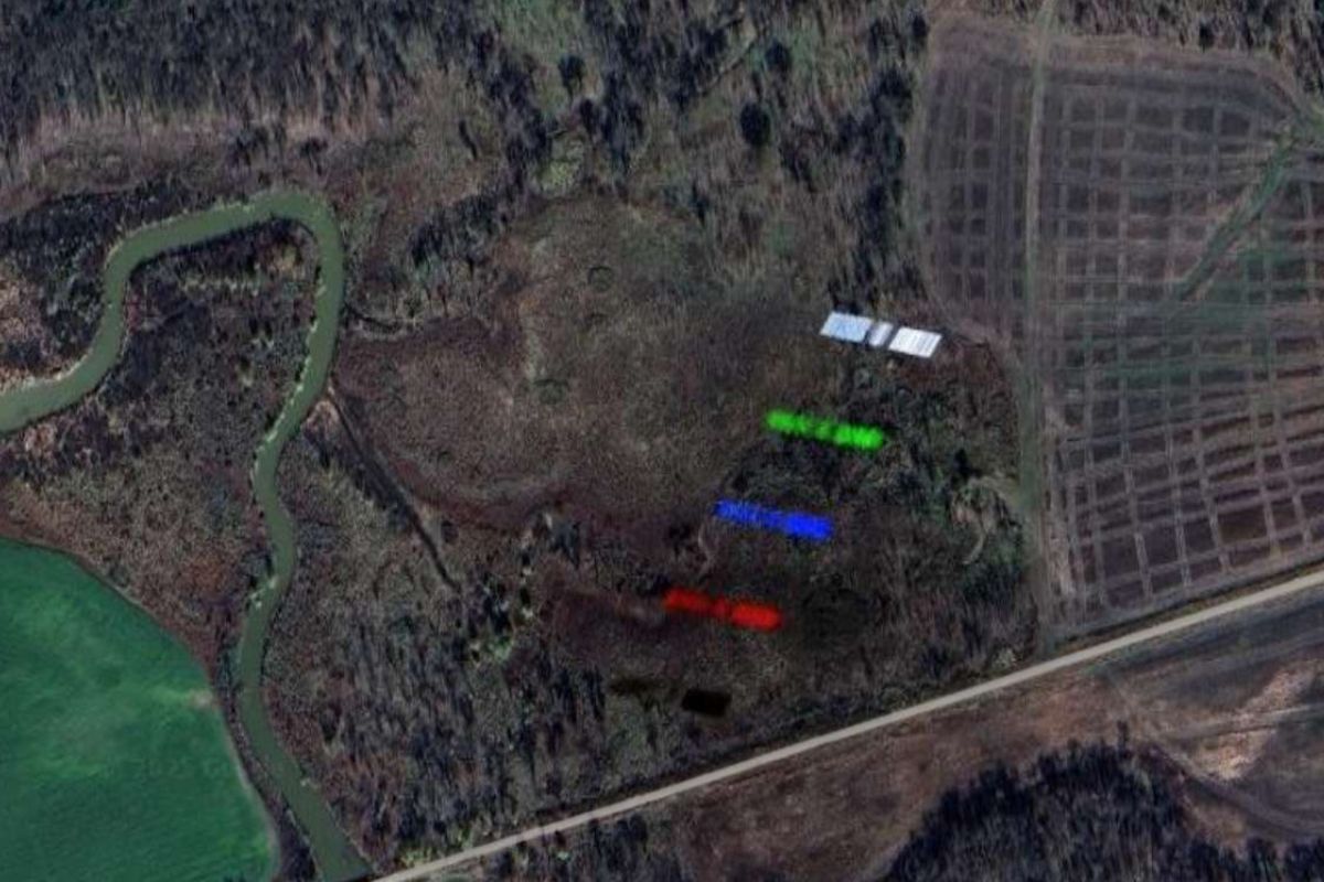
The striking image was captured by a French Pléiades satellite operated by Airbus Defence & Space, whose high-resolution imagery regularly feeds platforms like Google Earth. The sophisticated imaging process involves taking multiple sequential photographs in different spectral bands including blue, green, red, panchromatic, and near-infrared wavelengths. Airbus then combines these separate captures to create visually optimized images for human perception.
When aircraft traverse the field of view during imaging sessions, they appear with separated color bands due to their movement between sequential captures. However, orbital satellites travel at extreme velocities exceeding 27,000 kilometers per hour, compared to commercial aircraft speeds of 600-900 kilometers per hour. This dramatic speed difference causes the satellite to completely traverse the imaging field between the first and final spectral captures, creating the distinctive rainbow effect visible in the Texas photograph.
The precision timing required for such an event demonstrates the remarkable coordination of modern satellite operations. ESA’s advanced timing systems on the ISS showcase how space agencies maintain extraordinary accuracy in orbital mechanics, enabling these rare photographic captures.
Revealing Starlink’s hidden deployment configuration
This exceptional image provides an unprecedented view of a fully deployed Starlink satellite in operational configuration. SpaceX typically releases only deployment-phase imagery showing satellites in their compact launch positions. The Texas photograph reveals the impressive scale of these communication platforms, with dual solar panels extending across 30 meters of wingspan when fully operational.
The identification remains probabilistic rather than definitive, as tracking data indicated both Starlink and Chinese satellites were operating in the vicinity during the imaging window. However, the orbital characteristics and deployment pattern strongly suggest SpaceX’s constellation involvement. This visual documentation fills a significant gap in public knowledge about operational satellite configurations in low Earth orbit.
| Satellite Type | Operational Altitude | Wingspan Deployed | Orbital Velocity |
|---|---|---|---|
| Starlink | ~550 km | 30 meters | 27,000+ km/h |
| Pléiades | 600-800 km | Variable | 27,000+ km/h |
Growing orbital congestion challenges space observation
The Texas incident represents a harbinger of increasing orbital interference problems facing the space industry. Current active satellite populations exceed 10,000 units, with over 7,000 Starlink satellites operating at approximately 550-kilometer altitudes. These communication platforms orbit below typical high-resolution imaging satellites positioned between 600 and 800 kilometers altitude, creating inevitable intersection opportunities.
Space historians recognize similar challenges faced by legendary astronauts who navigated complex orbital environments. Apollo 13’s mission complexities demonstrated how space operations require extraordinary precision and planning, principles that apply equally to modern satellite constellation management.
The proliferation of megaconstellation satellites creates cascading effects throughout astronomical observation systems. Ground-based observatories report increasing light pollution from reflective satellite surfaces, while even the Hubble Space Telescope experiences interference from orbital debris and active satellites. These disruptions affect both scientific research and commercial Earth observation capabilities.
Implications for future space imaging and astronomy
Industry experts predict exponential growth in similar photobombing incidents as planned satellite deployments continue expanding. Multiple companies are developing competing megaconstellation projects that will dramatically increase orbital traffic density over the next decade. The cumulative effect threatens to fundamentally alter space-based observation capabilities across multiple sectors.
Current mitigation strategies include :
- Advanced orbital tracking systems for imaging coordination
- Darker satellite coating materials to reduce reflectivity
- Improved scheduling algorithms for observation windows
- Enhanced post-processing techniques for interference removal
The Texas Starlink photobomb serves as a compelling case study for the broader challenges facing modern space operations. As orbital environments become increasingly congested, the space industry must develop innovative solutions to preserve both commercial imaging capabilities and scientific astronomical research. This single extraordinary image captures not just a rare moment, but a preview of the complex orbital future awaiting humanity’s expanding presence in space.
First Appeared on
Source link

