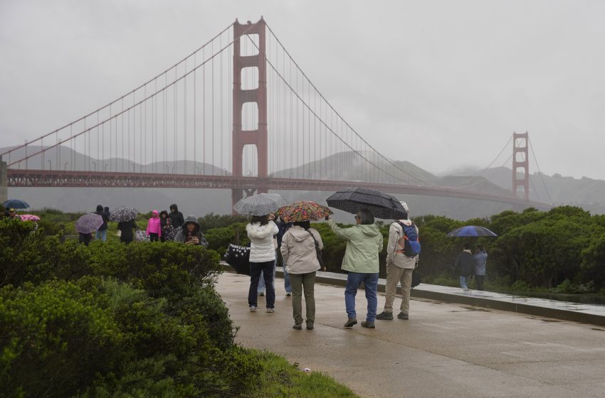
Cold Front Brings Bay Area Rain, Sierra Nevada Snow
“It’s just not going to be as warm as it’s been recently,” Kennedy said.
The cold storm building from the Gulf of Alaska could also deliver about a quarter inch of rain in low-lying areas and up to three-quarters of an inch at higher elevations on Thursday and Friday, Kennedy said.
“It looks like we’re going to have a couple of rainy days in store for us at the end of this week and into the start of next week,” Kennedy said. “If you’re a rain lover, like me, then you’re happy about it.”
The frigid storm may add much-needed snow to the state’s meager snowpack, sitting at 18% of normal for this time of year. Dakari Anderson, a meteorologist with the weather service’s Sacramento office, said up to 10 inches of snow could fall on the highest peaks.
But he notes, “we’re expecting a lesser amount than we saw with this last wave during a storm about a week ago.”
Anderson said it’s hard to say if the cooldown will last beyond the weekend. But when looking at the eight-to-10-day outlook, he expects above-average temperatures to return to the area.
“We’re forecasting warmer temperatures,” Anderson said, “but exactly how warm? It would be a little bit hard to say right now.”
First Appeared on
Source link

